Fresh data. Less clutter.
Keep up to 10 downloaded areas. Downloads expire after 24 hours; your drafts stay saved separately.
Editor for OpenStreetMap. Made for iPhone.
The café around the corner. The path you take home. Make a quick correction or draw something missing, with tools that feel at home on your iPhone.
Saved as drafts. Published on your terms.
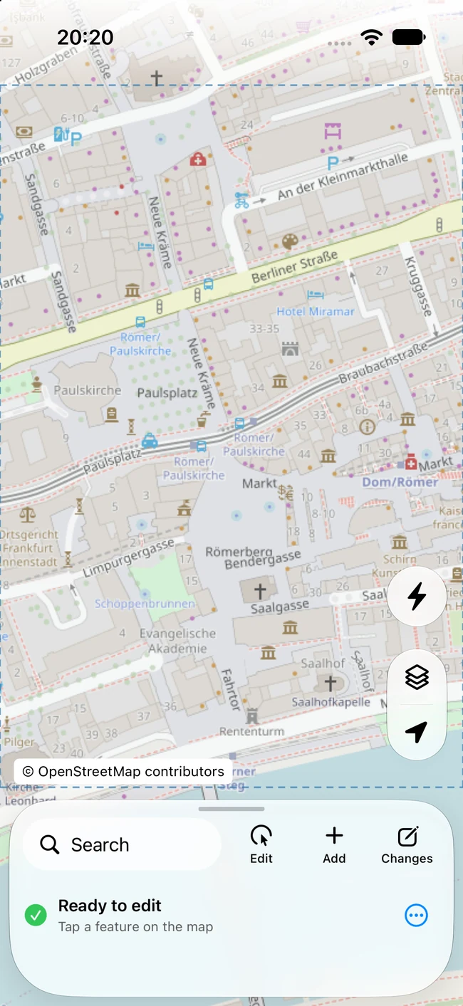
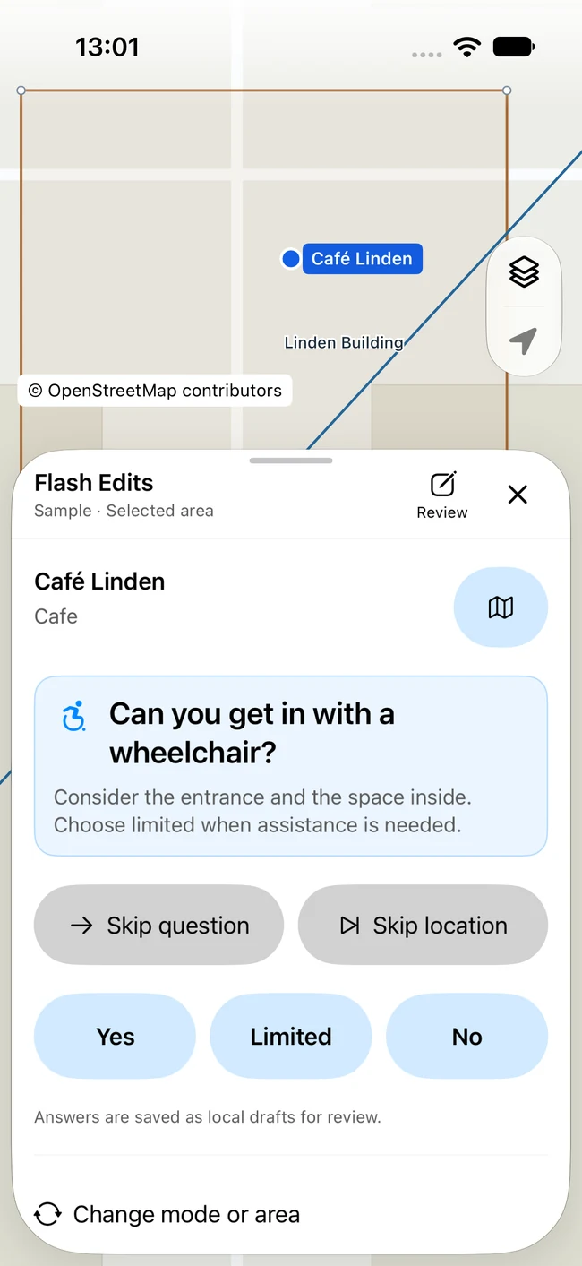
Quick, guided contributions
Points, paths & areas
Review before publishing
Actual app. Example questions use sample places.
Small questions. Useful answers.
Does it offer takeaway? Is there outdoor seating? Can someone get in with a wheelchair? Flash Edits turns missing details into questions you can answer with local knowledge.
Work through a selected area, or use Nearby to find places within 150 meters as you move.
Related questions stay together for one place before moving to the next. Add or verify opening hours in a dedicated editor.
Skip a question or skip the location. Answer what you can verify, then review your contributions before publishing.
A full editor, within reach
Start with clear fields and familiar controls. Go deeper with precise geometry tools and custom tags whenever you need them.
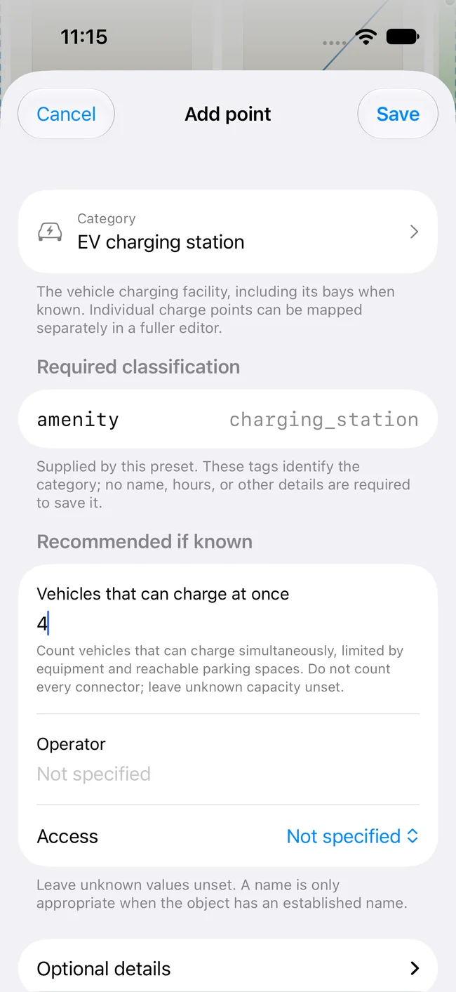
The right prompts for the feature you’re editing.
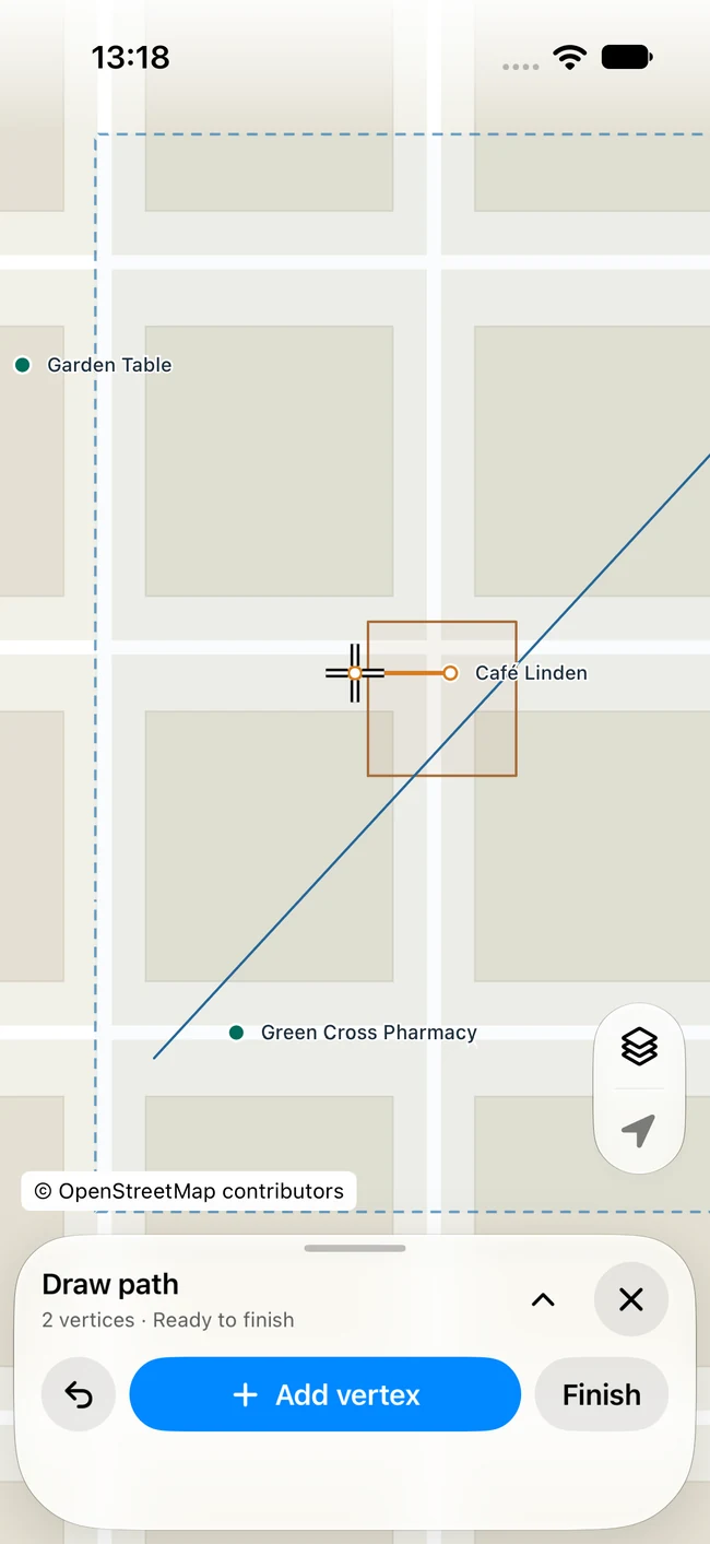
A walking route starts with a few well-placed points.
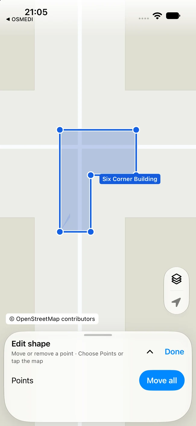
Refine the outline without losing your place.
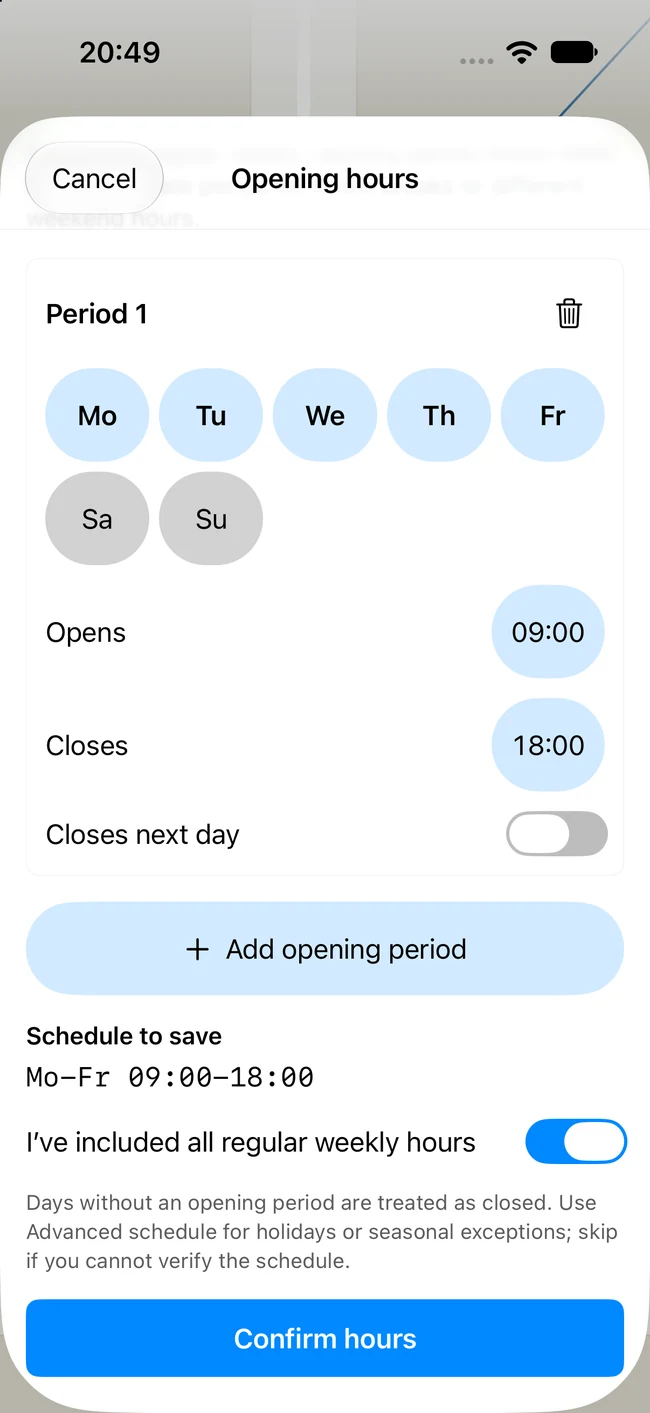
Set the schedule. Review what will be saved.
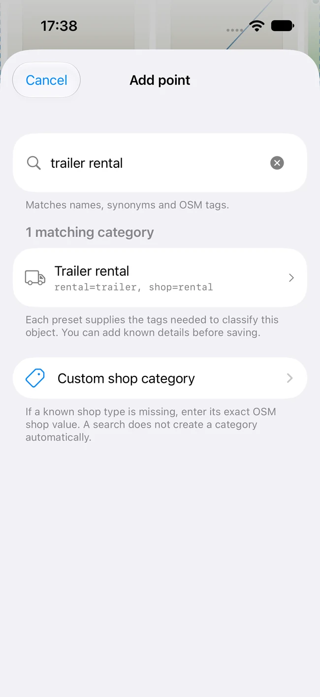
Search by a familiar name or an exact tag.
Actual app screenshots with sample editing data.
Some examples are shown in one appearance only.
Always your contribution
Move the map to your working area and download its objects. Coverage status makes it clear where you’re ready to edit.
Edits are saved as local drafts. Revisit a downloaded area or pick up a draft later without starting over.
Review and mark the changes you want to contribute. Sign in with your account for OpenStreetMap, slide to publish, and get straight back to the map.
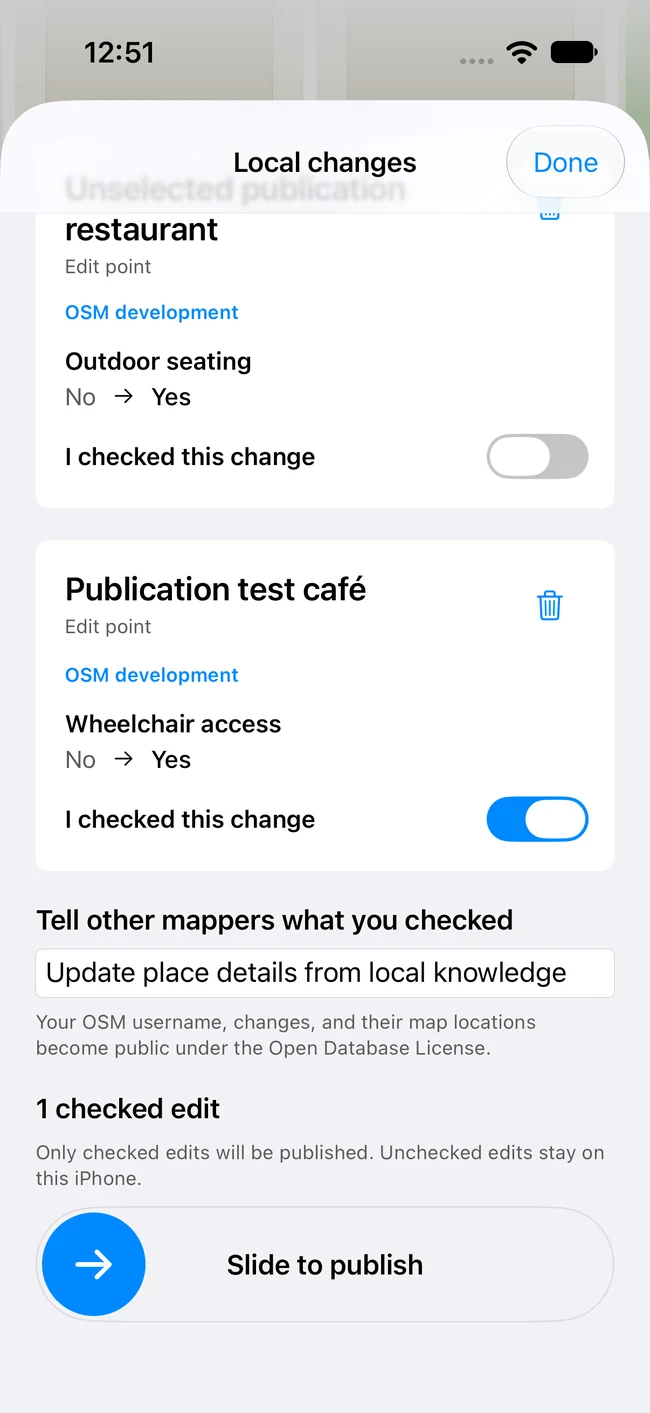
Sample contribution review in the testing environment.
Keep up to 10 downloaded areas. Downloads expire after 24 hours; your drafts stay saved separately.
Explore, download, and save local drafts. Connect your account when you’re ready to contribute.
Find yourself on the map and use nearby Flash Edits. Location stays in the foreground, with no background tracking.
Good to know
Made for careful contributions,
wherever you know the map.
OSMEDI is in development for iPhone with iOS 27 or later. Public download details will appear here when available. The app is designed for a global release, excluding China, and will launch in English (US).
No account is needed to browse, download an editing area, or save local drafts. To publish, sign in with your account for OpenStreetMap through the service’s own authorization page. OSMEDI never asks you to enter that password into the app.
Add points, open paths and roads, and simple closed areas. Edit properties and tags, move existing objects, adjust or remove shape vertices, and mark objects for deletion. Relations are viewable but read-only; editing multipolygons with holes and bulk imports are not included.
You choose an area before downloading its editable objects. You can return to an area you’ve already downloaded and manage or delete saved areas in the app. Up to 10 areas are kept, and downloaded data expires after 24 hours so it can be refreshed. Local drafts are stored separately.
A connection is needed to download fresh data, search, and publish. Basemap tiles load while browsing; OSMEDI does not download complete offline basemap packs.
Drafts, downloaded areas, and recent searches are stored on your device. Location is used in the foreground with your permission. Map and search providers receive the areas or search terms you request. Published contributions and your contributor identity become public.
This website has no analytics, forms, or third-party embeds. It stores only your appearance preference in your browser. The hosting provider may keep standard request logs.
Yes. OSMEDI is an independent editor for OpenStreetMap, created by Florian Chrometz. It is not affiliated with or endorsed by the OpenStreetMap Foundation. Map data is © OpenStreetMap contributors.

OSMEDI · Editor for OpenStreetMap
In development for iPhone. Public download details coming here.
osmedi.app